Our latest adventure into the gulf
our team descending into and exploring the historic events around the loss of the Seacrest oil drilling platform The Scan Queen, AKA the Seacrest, was an oil drilling platform lost […]

our team descending into and exploring the historic events around the loss of the Seacrest oil drilling platform The Scan Queen, AKA the Seacrest, was an oil drilling platform lost […]
On the 30th of October, we will be returning to Brunei to set up four days of exploration to continue the search for IJN shinonome. The Shinonome sunk with all hands […]
Pottery Shipwreck Trip report 26 Sept 2020 Few things get a diver’s pulse racing more than the thought of treasure, images of pirates’ chests overflowing with jewel-encrusted goblets flash into […]
A great time of year for a wreck expedition Every year two periods guarantee flat, calm conditions. This time is when the wind shifts from Lom Yai (big wind ) […]
Covid has affected all of our lives, creating misery and sadly loss for far too many people. Currently, on Koh Tao, we have existed in a bubble thus far, with […]
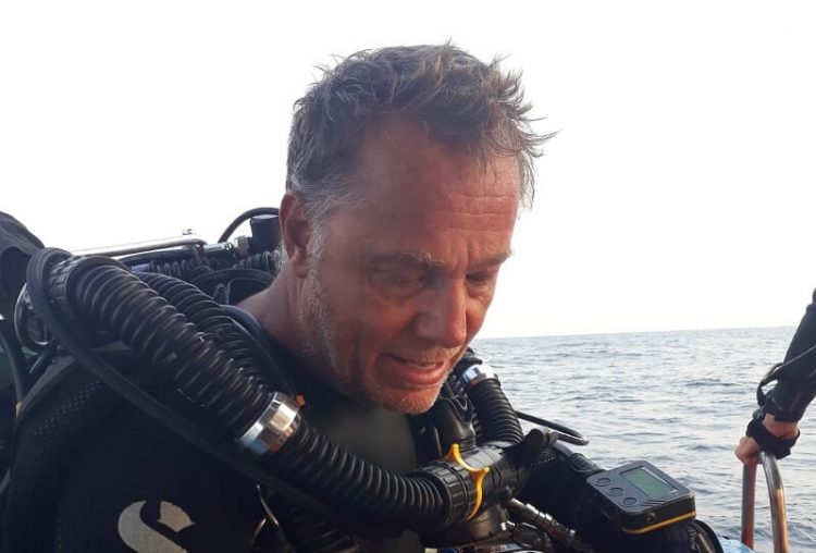
I’ve had the pleasure of joining Bruces’ wreck diving trips out of Sami San before and was looking forward to getting out to sea for 5 days – without wifi […]
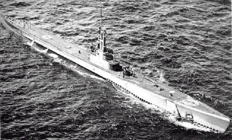
Early 1942 – After the Japanese attack on Pearl Harbor, Isoroku Yamamoto quickly turned his attention to the mineral rich mines of northern Malaysia and the sea lanes around Singapore. […]
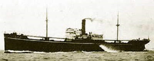
April 2019 a team of technical divers from the South East Asia Explorers club navigated the rickety pier in a small fishing village outside of Songkhla. As we loaded the […]